As you may or may not know North Dakota, besides being a land of big contrasts, is also historically very interesting. Mark grew up here and had a trap line in the area where I90 crosses Mandan. I’ve heard the skunk story and the fox that had fleas story. I’ve heard the ice skating on the frozen river story and the walking to school a whole block story. But the best stories I actually got to experience are the Lewis and Clark and George Custer stories and the Marquis de Mores and the Teddy Roosevelt stories. Hang on because you get to see them, too!
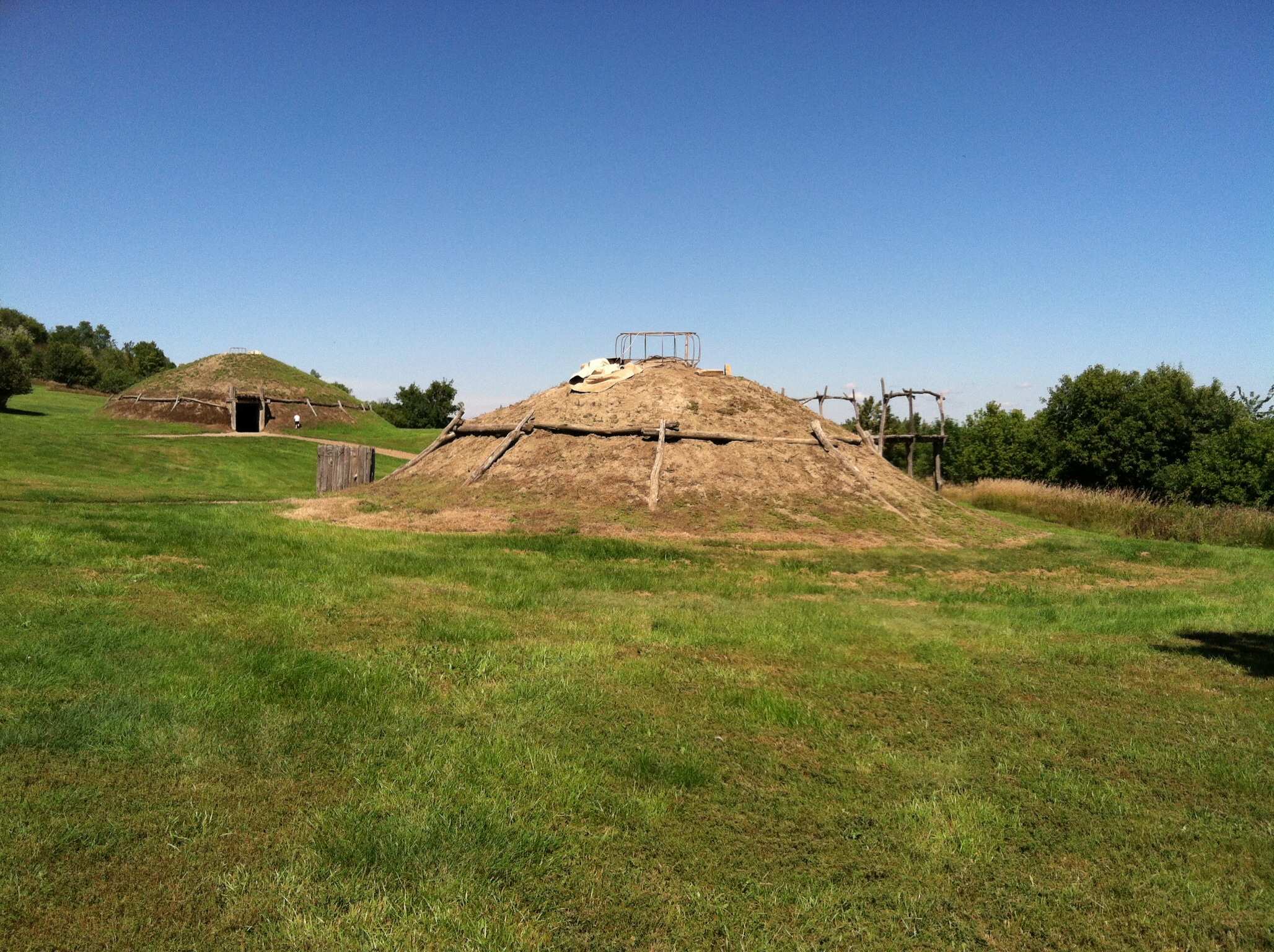
 This is an “Indian Mound” found at the On-A-Slant Indian village above the Heart River south of Mandan. This village was a booming metropolis of 500 souls who were completely wiped out in a smallpox epidemic visited upon them in the 1700’s by fur trappers who came through this area. So, when Lewis and Clark arrived on the scene in 1804 there was nothing left of the village. In order to preserve the heritage of the place, the CCC rebuilt the mounds in the ’30’s. Mark and his buddies would ride their bikes here when they were kids and play around the village and the forts above them.
 There are about five mounds rebuilt including a large lodge for community gatherings and ceremonies.
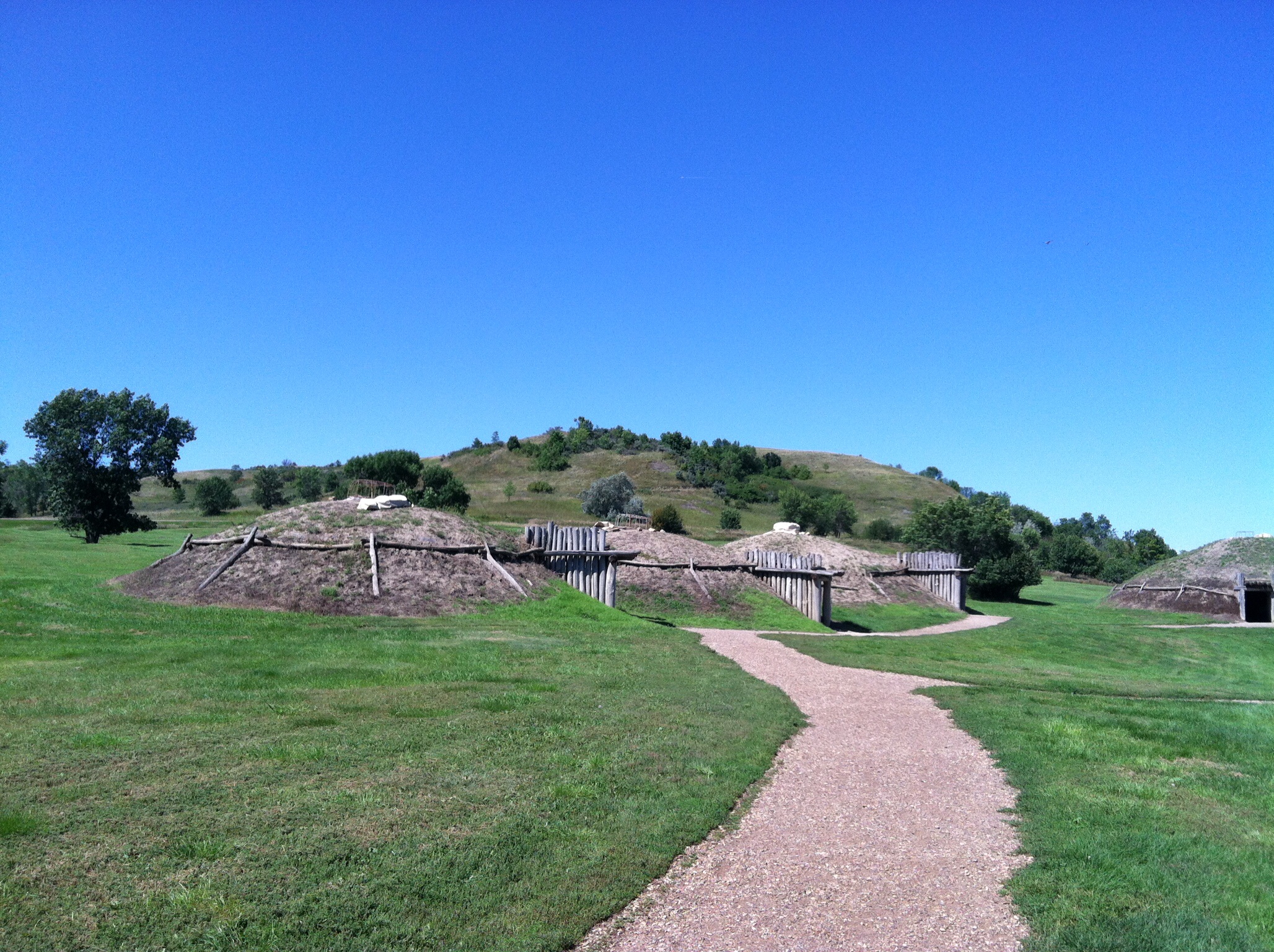
 This is a view of the village fro m above. The ceremonial lodge is the big one on the left. That is the muddy Missouri in the background. We’d had three days of rain before the pictures were taken. This is the greenest ND has been at this time of year that I ever remember.
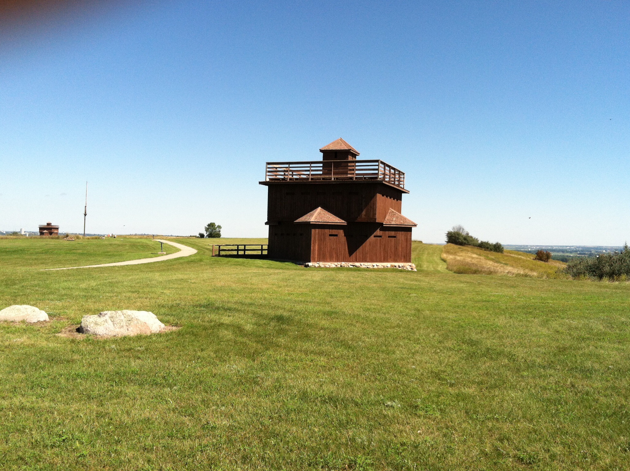
 Above the Indian village is a fort first named Fort McKean and later renamed Fort Abraham Lincoln. In 1872 the first fort was founded and was home to infantry soldiers who wear charged with guarding surveyors and builders of the railroad. The fort featured three of these “blockhouses” and formed a triangle inside of which the rest of the fort was built. There were officers quarters, scouts quarters, a hospital, a commissary, mess halls, and an ammo bunker. The fort was built on a hill overlooking much of the heart and Missouri River Valleys. There was an adjacent cemetery we go to and look around. Most deaths were from “civilian shootings,” dyphtheria, and freezing to death.
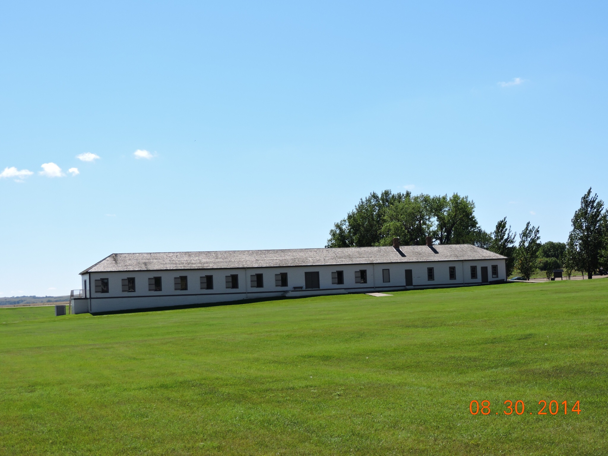
On the river plain below the infantry fort a cavalry fort was built in 1874. To this place was sent George Custer and the men of the Seventh Cavalry. There were about 600-700 men who lived in deplorable conditions. The buildings were made from untreated lumber and weren’t chinked so the freezing winter winds blew through the warped walls making for some really poor living in the Dakota territory. Several years several buildings were reconstructed.
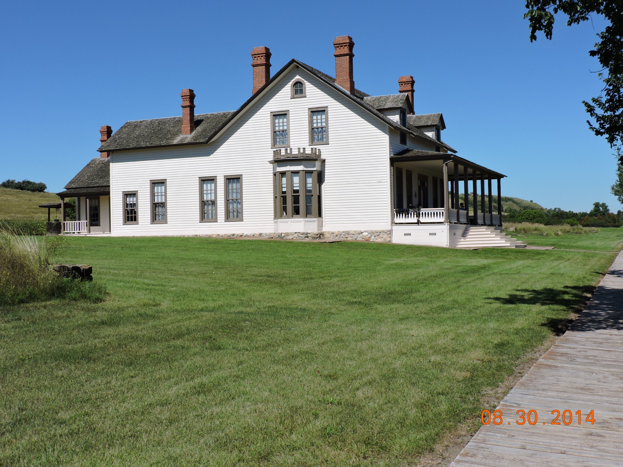
 This is the reconstruction of Custer’s quarters. It was used as his headquarters and as the social center for the officers. Additionally, the commissary, the granary, and the mess hall/barracks for enlisted soldiers has been rebuilt.
 The granary. All the military buildings look similar on the outside.
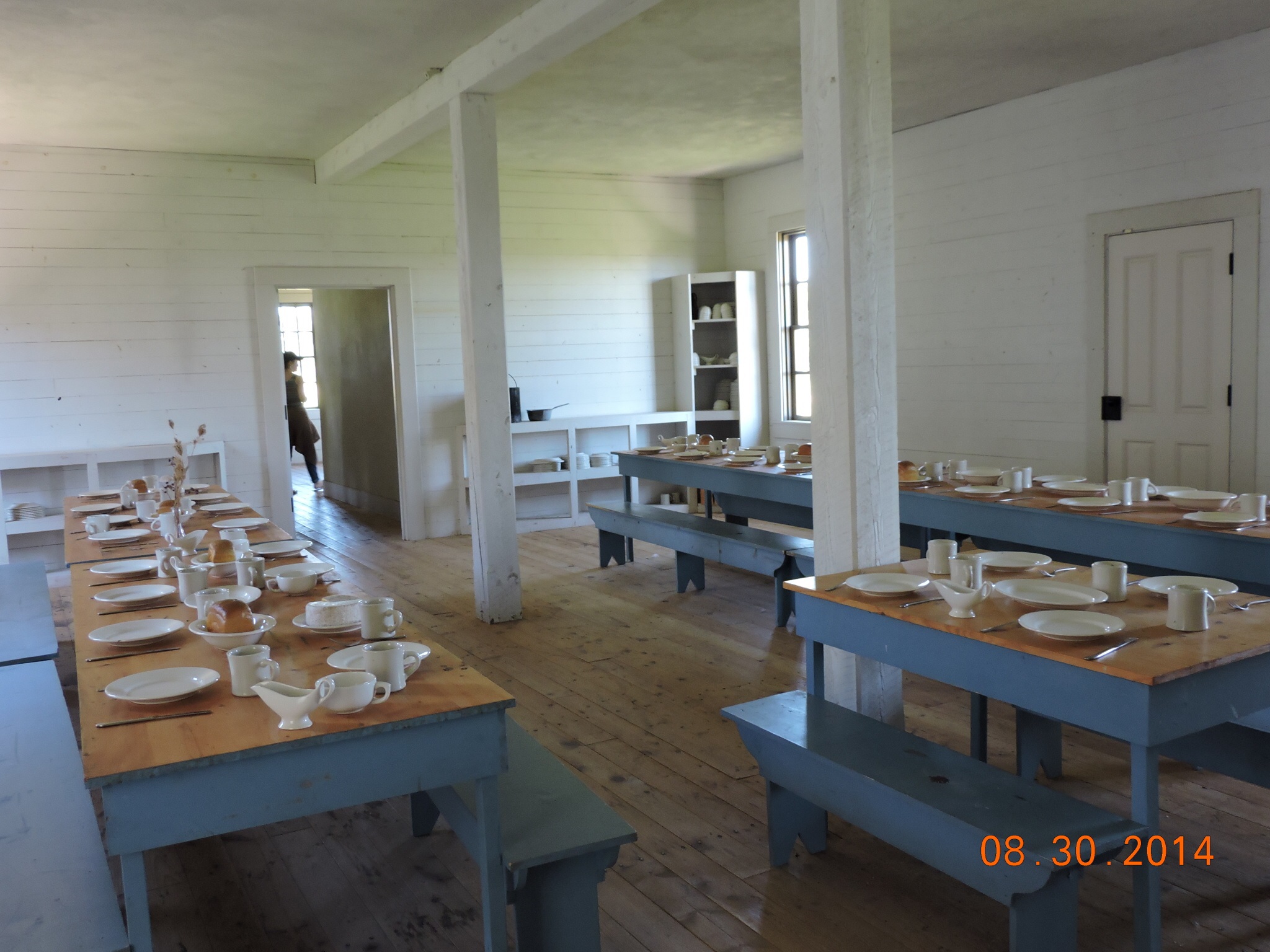
 The mess hall. From this fort in May of 1876 the 7th Cavalry left to go to Montana to quell what they feared was to be a Sioux uprising. Surprised by a large gathering of Native Americans his troops were overwhelmed at the Little Bighorn. The story is history but there are lots of small stories which make this whole historical episode interesting. At least for an army brat like me!
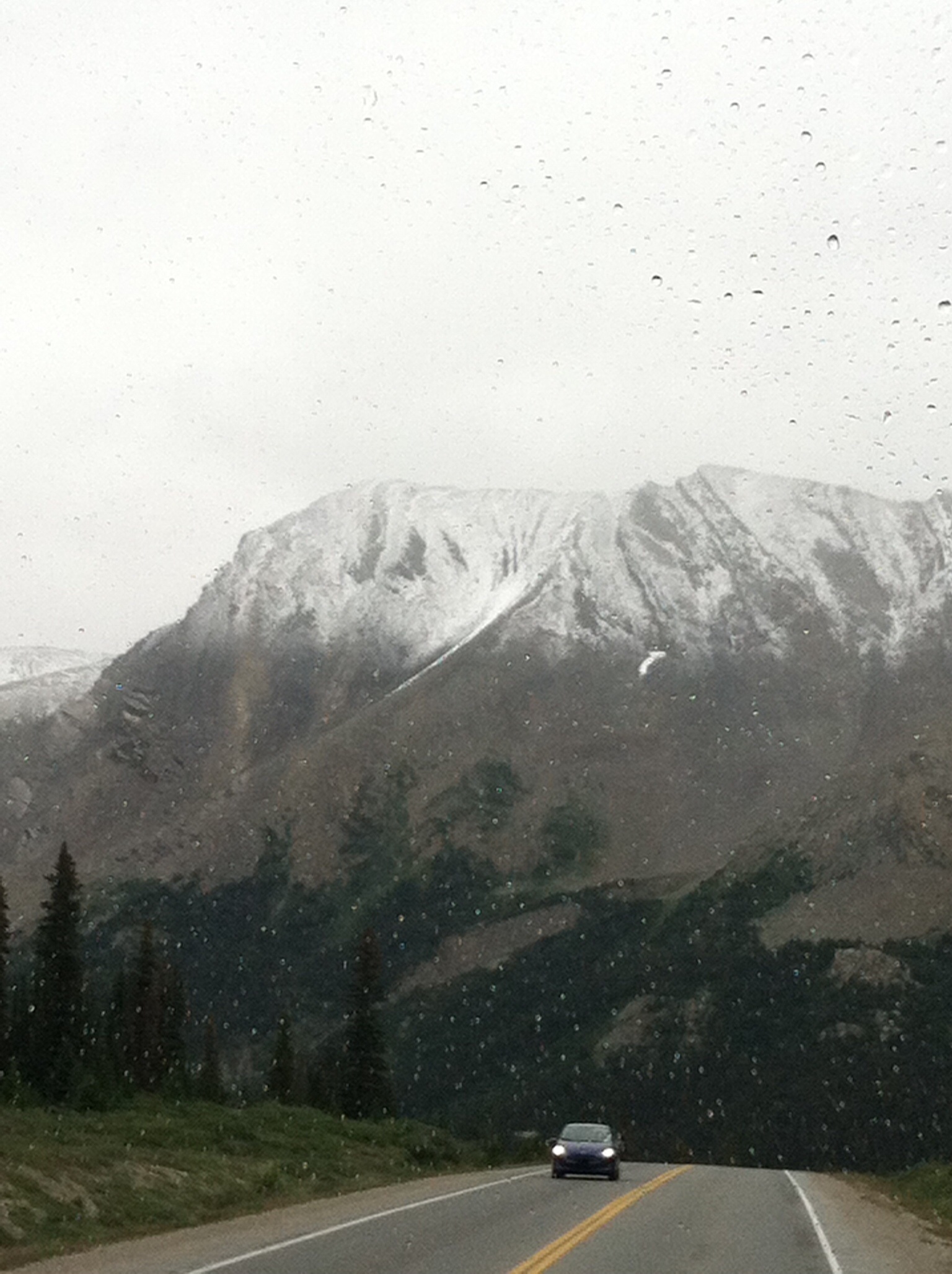
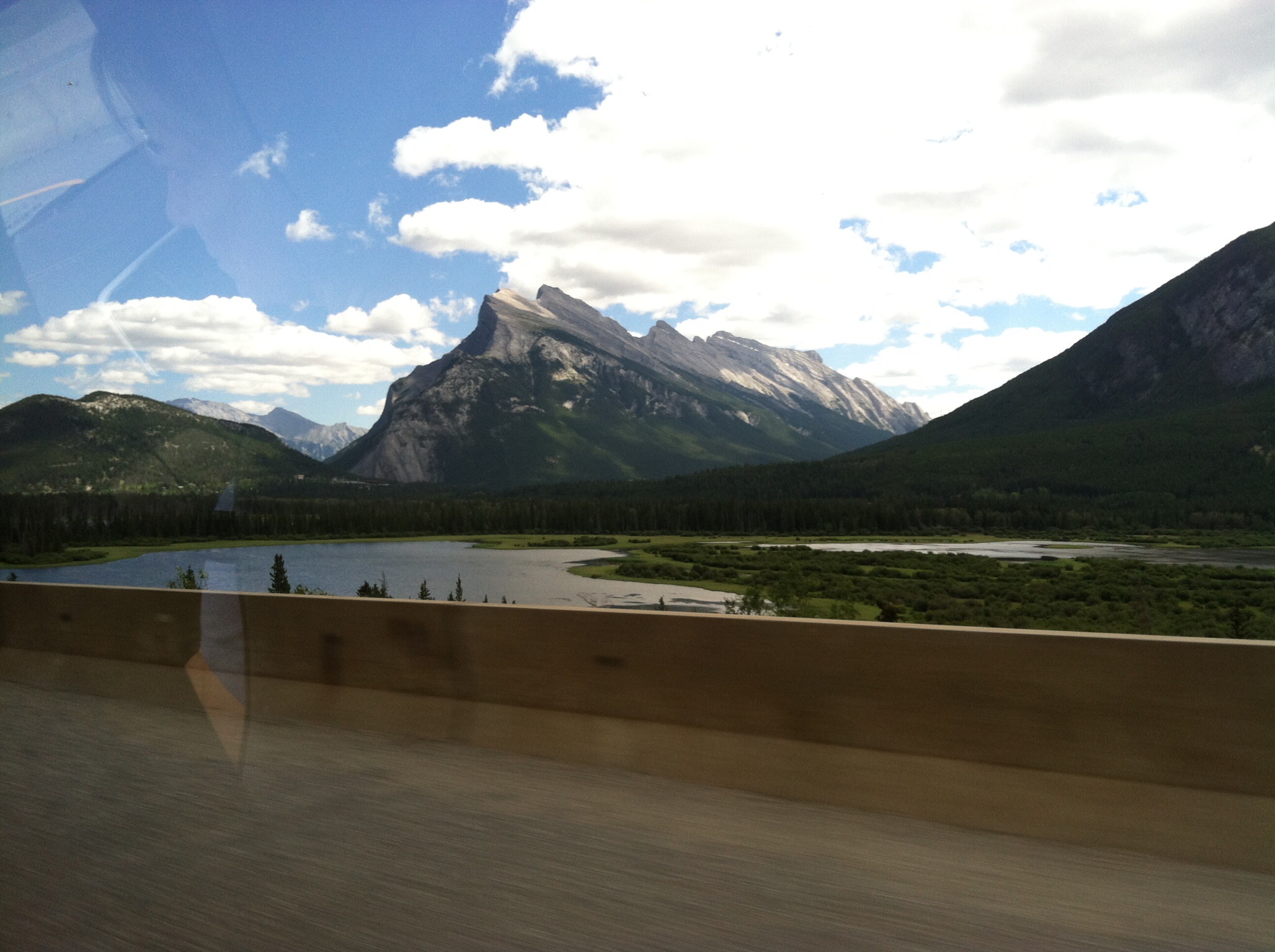
Before he got to the Little Bighorn, Custer had to traverse the North Dakota Badlands. It took him three weeks to get there and an additional three weeks to cross the 50 miles or so needed to get to the other side. More about this area in the next post and there we will meet the Marquis and Teddy.
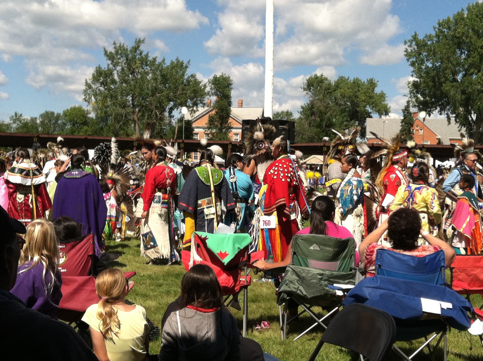
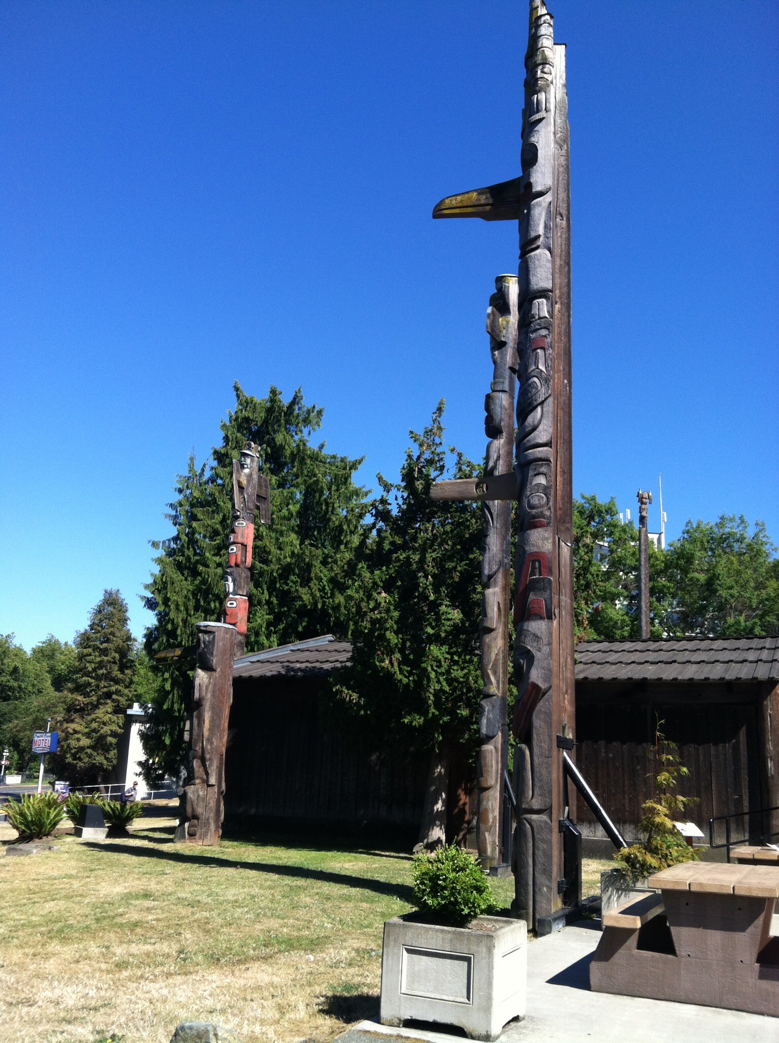
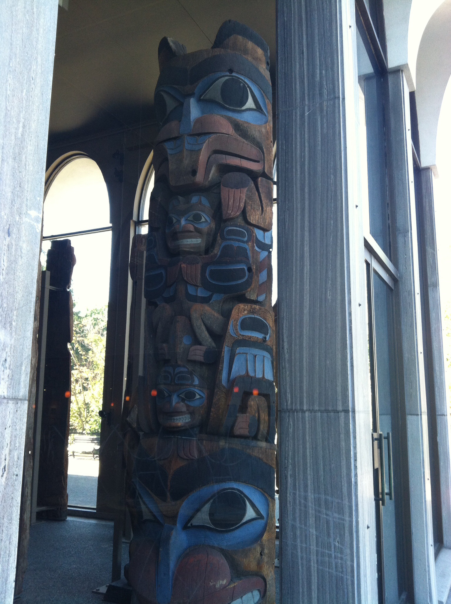
 The Dakota, Lakota, and Nakota Peoples at the United Tribes Powwow in Bismarck. So moving and beautiful.

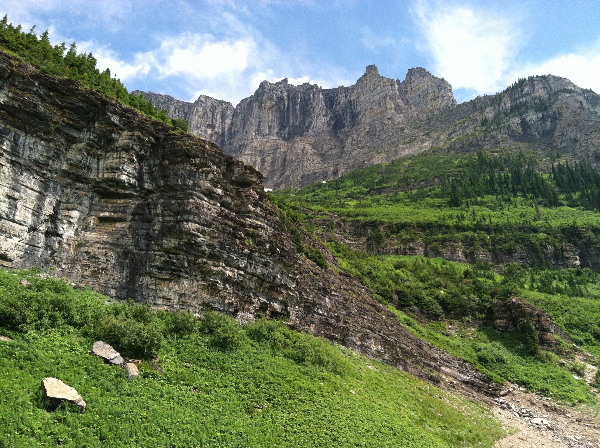
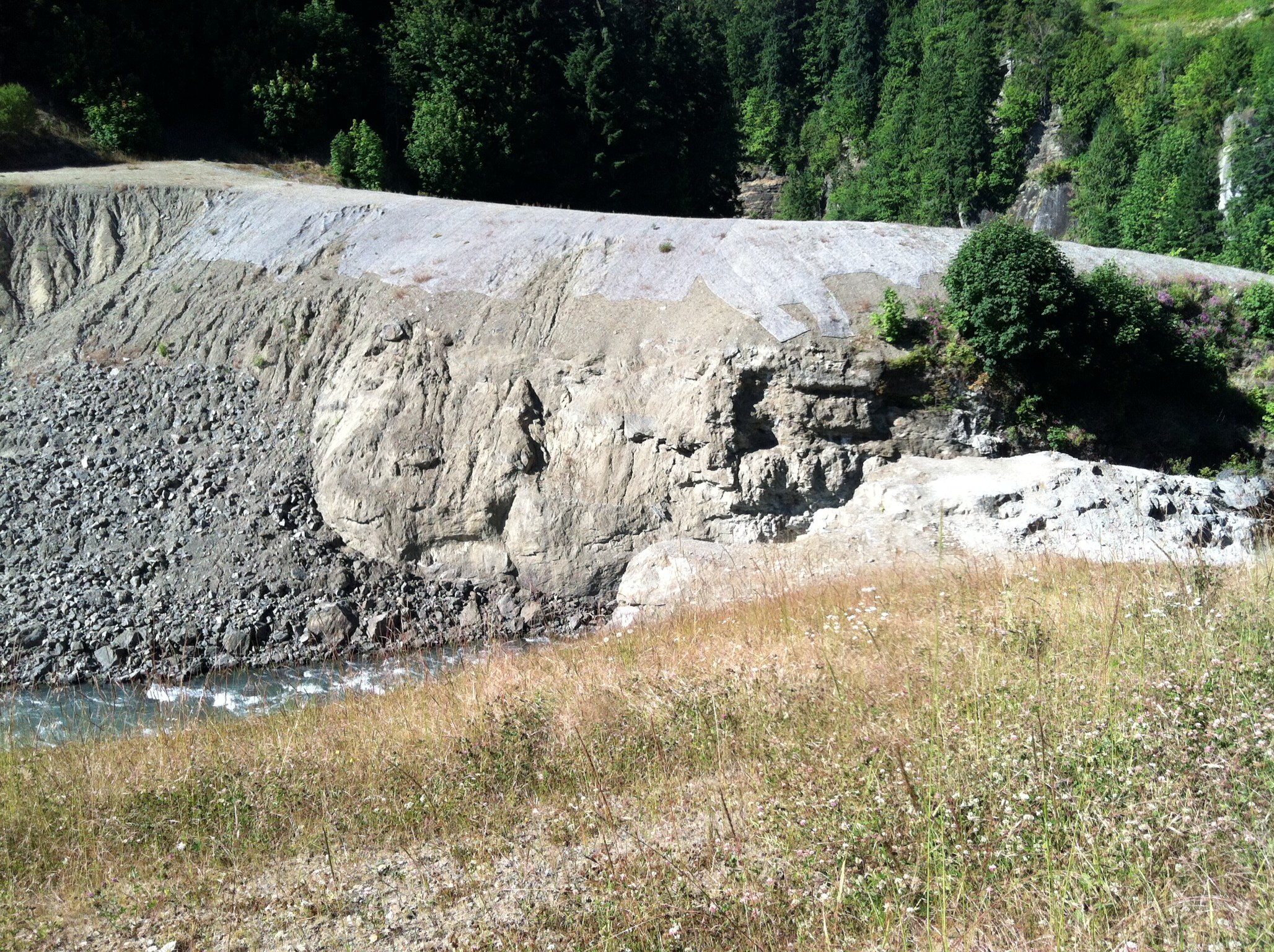
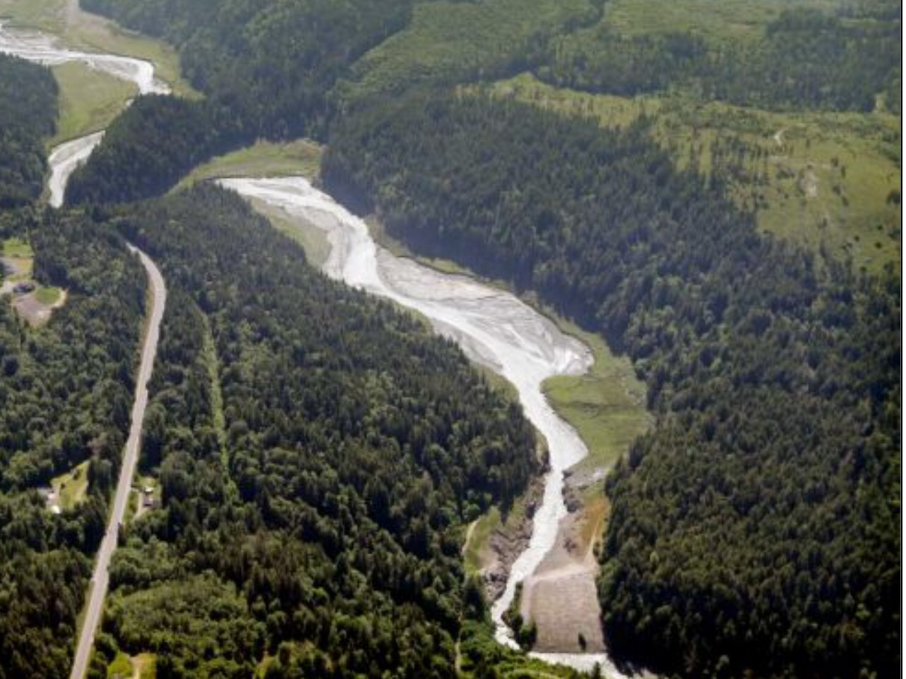
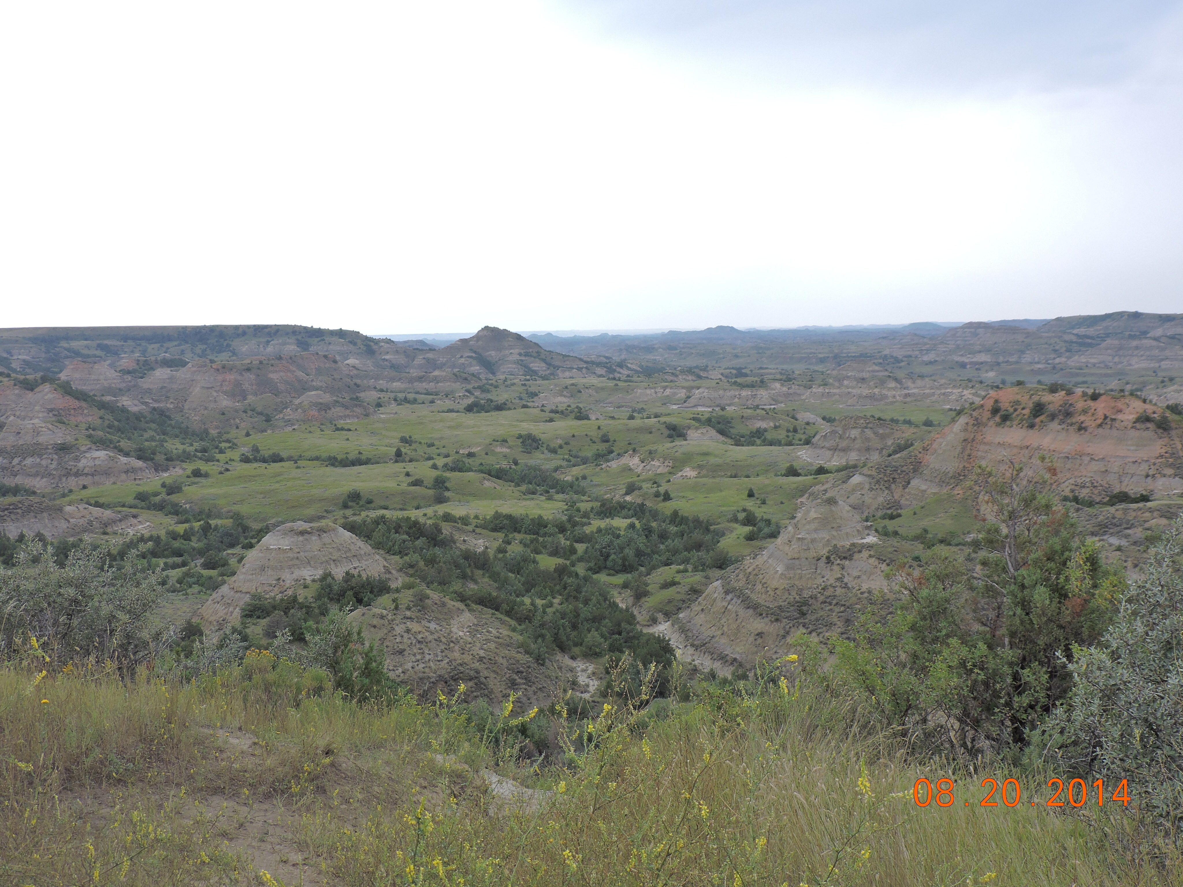 This is the east side of the Badlands and it gets more rugged as he headed west. Anyway, the rest of the story is pretty well known. The first reports of the massacre reached Ft. Lincoln on July 5. One day after the 100th anniversary of the founding of our country.
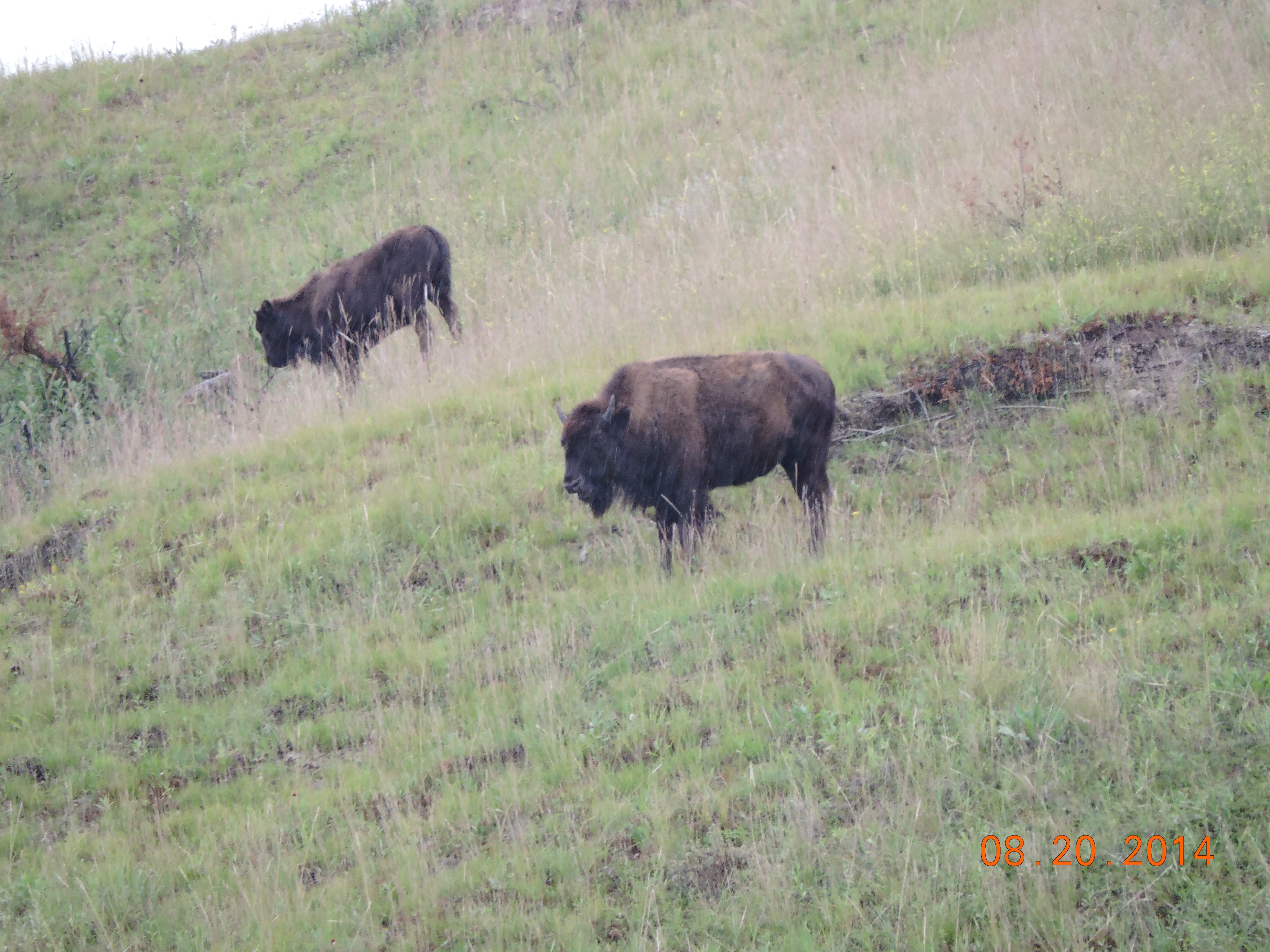
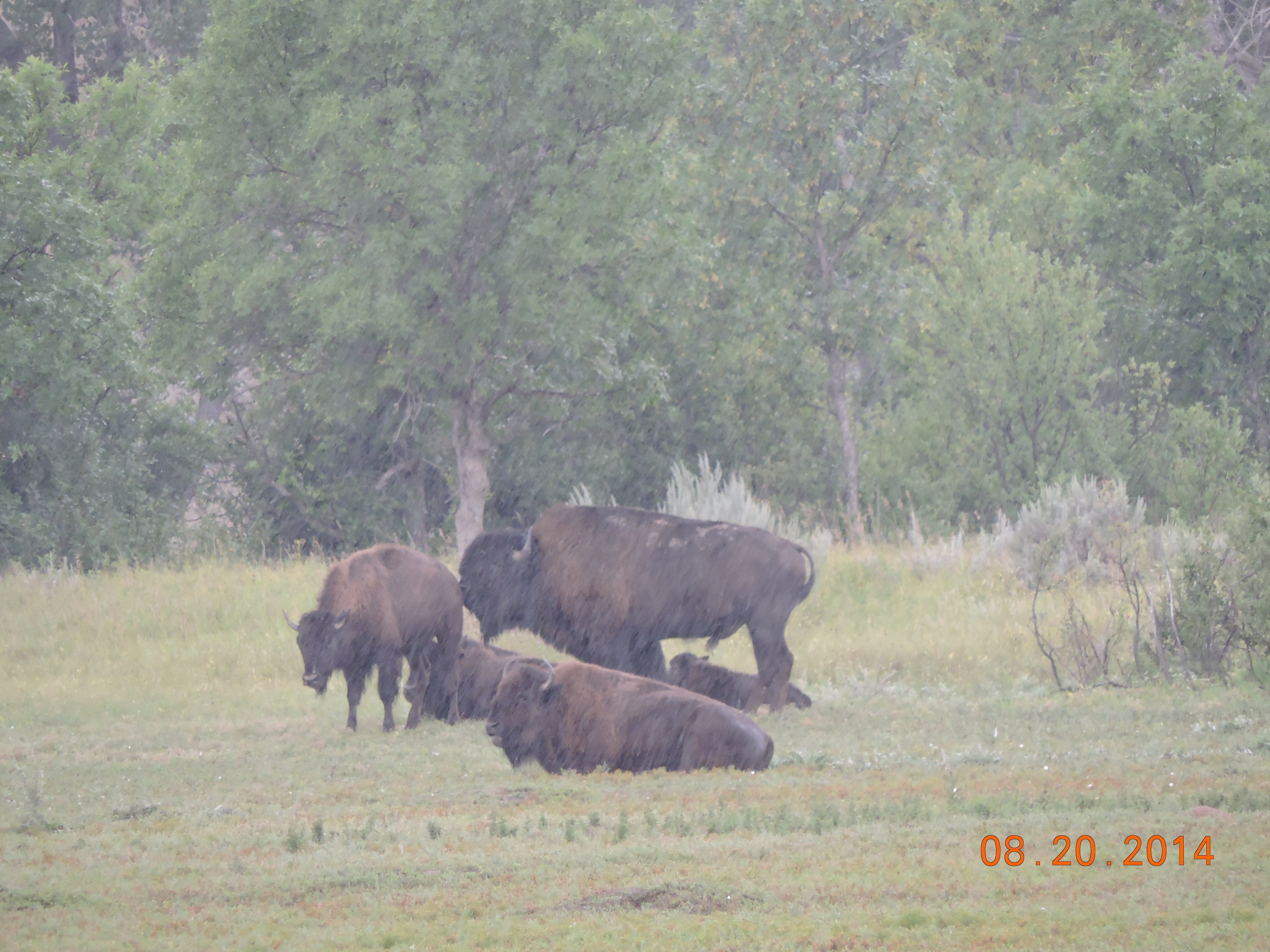
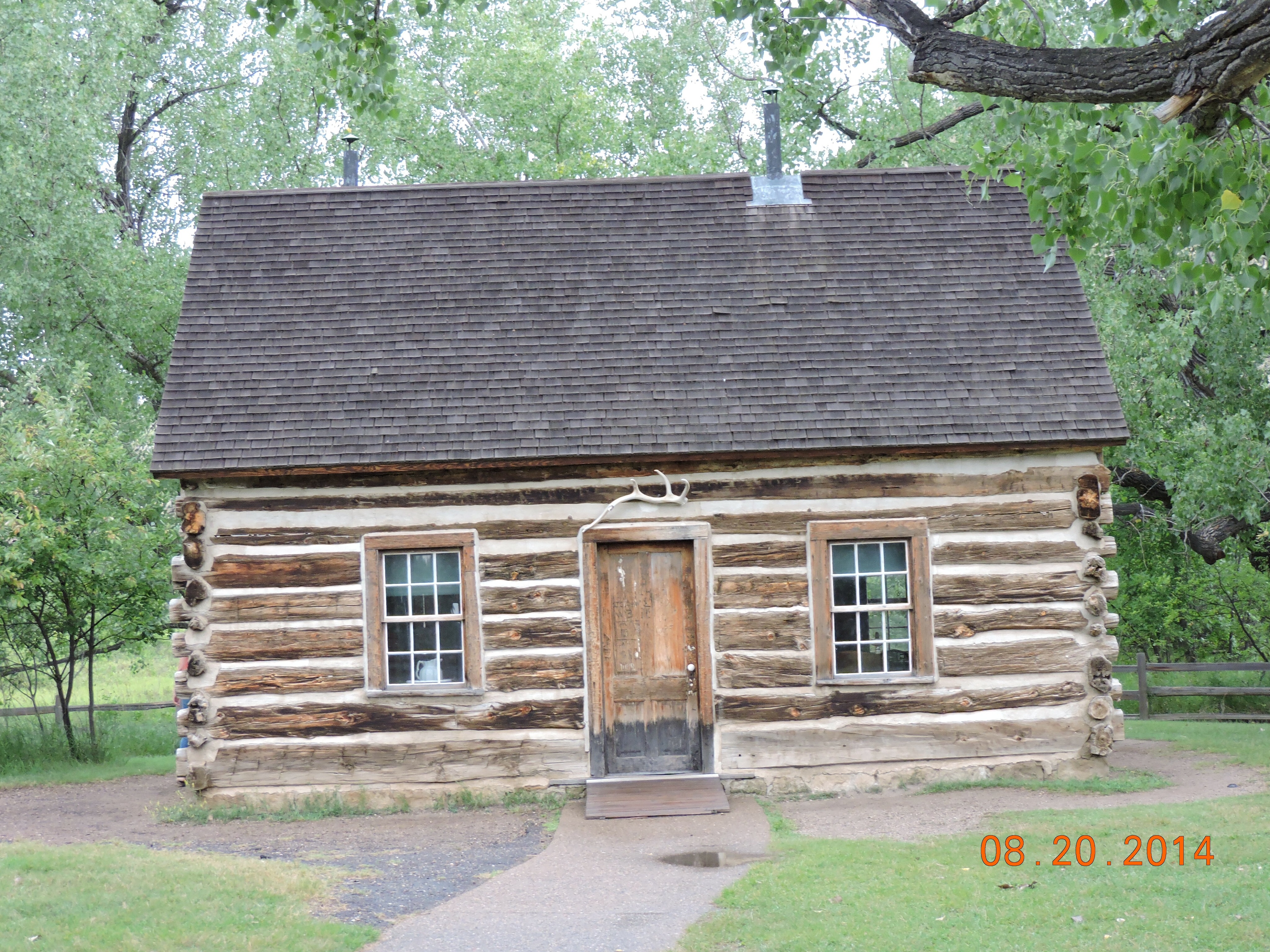 Poor old Teddy lost his mother and wife on Valentines Day and because of his own weak constitution and his grief he wanted to get away and what better place than the backside of nowhere. This is the cabin he built on the ranch he bought, the Elkhorn Ranch. He raised cattle and went hunting for bison. The ranch was made into a national park so now we can all enjoy the bison, wild horses, and prairie dogs.
 Teddy and the Marquis hung out together and Teddy got his strength back. It was in North Dakota that he developed his love for the rough western ways and independence of spirit. This remains a true North Dakota trait!